MORGANTOWN MUNICIPAL WALTER L BILL HART FIELD
Airport ID:
Airport Picture:

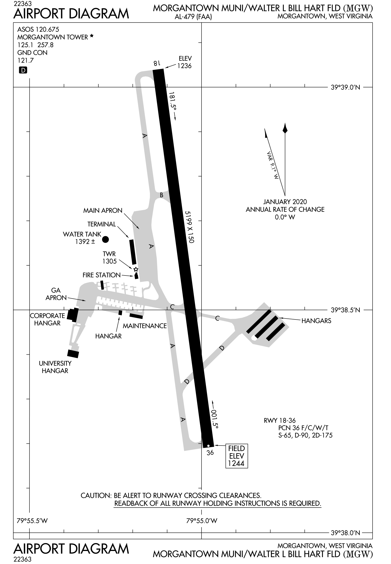
Airport Map:
{"location":{"lat":39.64456902857222,"lng":-100.195,"long":-79.9158162314119},"events":[],"zoom":15}
Historical Overlay:
Overlay Image:
North Coordinate:
39.653282
South Coordinate:
39.632233
East Coordinate:
-79.907769
West Coordinate:
-79.926167